People are waking to power outages and travel disruption this morning after Storm Isha battered Britain and Ireland overnight.
For a time, a red warning was issued for northeast Scotland, as winds were gusting between 90mph and 100mph.
The red warning, and the amber warnings which covered many parts of Britain, have now expired, as the worst of the storm has cleared away.
However, much of the country is still under yellow warnings, as it is still extremely windy.
The winds are expected to gust as high as 80mph today, which will hamper the clean-up operation from last night’s storm. The strongest of the winds will be in the north.
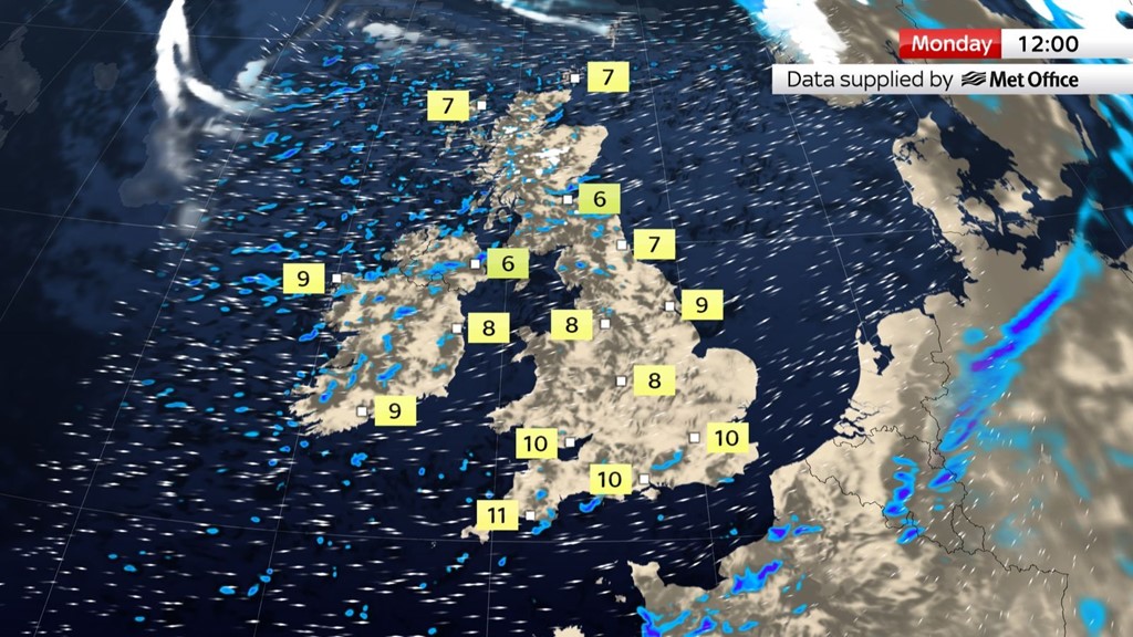
As well as a strong wind, Monday will also bring plenty of heavy showers, particularly in the north and the west, where they could turn thundery at times.
In the north, the downpours are likely to turn wintry.
There will be sunny spells too, particularly in the south and east.
Shower activity will become confined to northern and western Scotland later, ahead of further clouds and rain arriving overnight.
On Tuesday another weather system will bring yet more wet weather and there is the chance that this system could also become a named storm.
Whether it’s named or not, Tuesday promises to be a wet and windy day for many places.
That system will move away on Tuesday evening and overnight, and Wednesday should bring more in the way of brightness.
It will still be a windy day, however, with some showers in the north as the unsettled spell of weather continues.
Leave a Reply